FREE! Click here to Join FunTrivia. Thousands of games, quizzes, and lots more!
Quiz about Cities Beginning with M

Cities Beginning with M Trivia Quiz


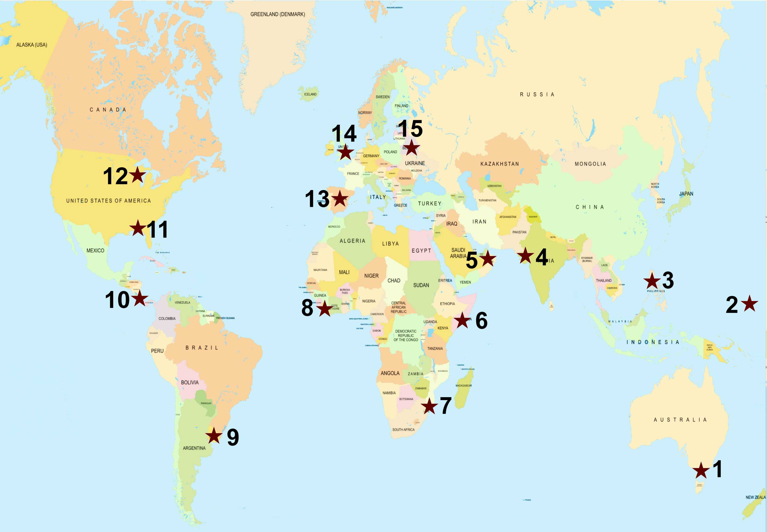
Moscow, Monaco and Moroni are three you won't find but there are many more you will. These cities and towns are from all around the world and all you have to do is match them up to where they belong on the map.

A label quiz by Midget40. Estimated time: 3 mins.
  1. Home
  2. »
  3. Quizzes
  4. »
  5. Geography Trivia
  6. »
  7. Cities of the World

Author
Midget40
Time
3 mins
Type
Label Quiz
Quiz #
416,124
Updated
Apr 18 24
# Qns
15
Difficulty
Easy
Avg Score
13 / 15
Plays
677
Last 3 plays: miranda101 (15/15), Quizzist (15/15), DamonX1979 (15/15).
Managua Minsk Muscat Maidstone Melbourne Majuro Madison Maputo Montevideo Montgomery Manila Mogadishu Monrovia Mumbai Madrid
* Drag / drop or click on the choices above to move them to the answer list.
1.   
2.   
3.   
4.   
5.   
6.   
7.   
8.   
9.   
10.   
11.   
12.   
13.   
14.   
15.   

Most Recent Scores
Today : miranda101: 15/15
Today : Quizzist: 15/15
Today : DamonX1979: 15/15
Today : Guest 86: 9/15
Today : Guest 205: 10/15
Today : Guest 187: 13/15
Today : Guest 47: 15/15
Today : kkt: 13/15
Today : Guest 81: 13/15

Quiz Answer Key and Fun Facts
1. Melbourne

Melbourne is the capital of the Australian state of Victoria which lies in the country's south east on the Mornington Peninsula. After the federation of Australia in 1901 it was the also the country's capital until the purpose-built city of Canberra was finished in 1927.

The city is a large sprawling area set on the coastal plains in a region of alpine forests called the High Country. Its suburban spread makes the city the largest in Australia. It is even more extensive than the sizes of Greater London and Mexico City.

Situated on Port Phillip Bay, one of the world's largest natural harbours, it contains the famous beaches of St Kilda and Brighton. The Yarra River runs through the city and divides it into northern and southern regions.

To the west of Melbourne are the Werribee Plains which are in stark contrast to the granite ridges of the You Yangs in the north which run for 9 km and include several small extinct volcanoes. The Dandenong Ranges National Park, a 3.540 hectare area of forests and gullies, mark the eastern borders of the city.
2. Majuro

Majuro is the capital and largest city of the Marshall Islands, a country in Micronesia in the Northwestern Pacific Ocean. They lie between Australia and Hawaii and sit upon submerged volcanoes.

The island republic is north of the equator and west of the International Date Line. It shares maritime borders with Nauru to the south, Kiribati to the east, Wake Island to the north and the Federated States of Micronesia to the west.

The country is made up of two island chains that lie parallel to each other, one is known as Ratak, meaning sunrise, and the other Ralik, sunset. These are further divided into 5 islands and 29 coral atolls. With a size of over 1,900,000 km2 nearly 98% of its territories are water.

Majuro city is found on an atoll of the same name within the Ratak Chain. It is 64 kms in length and has over 64 islets. One of these, named Laura, has the chain's highest point at only 10 metres above sea level. Being at such a low elevation, Majuro has issues with climate change and its associated sea level rise.
3. Manila

Manilla is the capital of the Philippines, an island nation north of Sulawesi Island in Indonesia, south of Taiwan and 1300 kms to the east of Vietnam and mainland Asia. It lies on the country's biggest island of Luzon on the eastern shore of Manila Bay. The country is in the western Pacific Ocean just above the equator and entirely in the tropics.

The city sits upon mostly reclaimed land from Manila Bay and alluvial deposits from the Pasig River, which bisects the city and joins the Laguna de Bay, the city's largest lake. As the land has been altered by human intervention it is very flat with little variation.

Manila sits in the Pacific typhoon belt and on several fault lines, particularly the active Marikina Valley Fault System. This has led to Swiss Re (a large Swiss reinsurance company) to name it as 'the world's second-most natural disaster exposed city' with regards to its earthquakes, tsunamis, floods, landslides and typhoons.
4. Mumbai

Mumbai is the capital city of the Indian state of Maharashtra. The city is located on a peninsula on Salsette Island in an area known as the Konkan coast on India's western coastline. As such it has the Indian continent to its east and the Arabian Sea to the west. Salsette Island itself is covered with large mangrove swamps on the east while the western coast is mostly sandy and rocky.

The city is built on what was once an archipelago of seven islands. With land reclamation and infrastructure it took 63 years to create and was finished in 1845. As with Manila this has led to a very flat terrain with an average elevation of just 14 metres except for its northern edges that include the Powai-Kanheri ranges.

Mumbai lies at the estuary of the Ulhas River and has a dam and 6 major lakes to supply water. At only 20 degrees above the equator it has a tropical monsoon climate and has a major problem with air pollution.
5. Muscat

Muscat is the capital city of Oman. Situated in the northeast of the country, it lies strategically with the Arabian Sea to its south, the gulf of Oman to the east and in direct proximity to the Straits of Hormuz which is the only sea passage from the Persian Gulf to open waters. The city also has two deep natural harbours and is surrounded by many coral reefs.

The country itself has the United Arab Emirates to its north and Yemen and Saudi Arabia to its west. Muscat is situated on a low coastal plain with the Hajar Mountains lying to the west running for 700 kms into the United Arab Emirates and comprising of high desert plateaus.

Located just above the Tropic of Cancer it has a hot, humid, arid climate with annual rainfall averaging 10 cm.
6. Mogadishu

Mogadishu is the capital city of Somalia and located in the country's southeast on the Benadir coast, and extending inland. It has a large port and many sandy beaches and coral reefs.

Somalia itself is located on the Horn of Africa and is the easternmost country in continental Africa; it has the longest coastline of those on the mainland. It is surrounded by the Gulf of Aden to the north, the Indian Ocean to the east, and Kenya, Djibouti and Ethiopia going from the south west to northwest.

The country's terrain is mostly plains, plateaus and highlands with the Ogo Mountains in the north running from east to west.
7. Maputo

Maputo is the capital city of Mozambique. It is located on a large natural bay of the same name in the southern end of the country. The bay is in the Indian Ocean and includes an estuary where the rivers Tembe, Mbuluzi, Matola and Infulene all converge.

The city is on a low lying coastal plain and bordered by hills to the west. It contains one of the busiest ports in southern Africa. The city is within 120 kms of the country's southern borders with Eswatini and South Africa.

The country also borders Zimbabwe to the west, Malawi and Zambia to the northwest and Tanzania to its north.
8. Monrovia

Monrovia is the capital city of Liberia. It is situated on Cape Mesurado peninsula, between the Atlantic Ocean and the Mesurado River whose mouth forms a large natural harbor. The Saint Paul River forms its northern border.

Located only 6 degrees north of the equator and 10 degrees west of the International Date Line, the city is located on the hilly peninsula and features sandy beaches along its Atlantic coastline.

Liberia itself is on the West African coast, bordered by Sierra Leone and Guinea to its north, Ivory Coast to its east and the Atlantic Ocean to its south and west.

The coastal plains are mostly flat and contain swamps and mangroves while there are plateaus and mountains in the northeast covered with tropical rainforests.
9. Montevideo

Montevideo is the capital city of Uruguay lying on the north shore of the Rio de la Plata which is an arm of the Atlantic Ocean that separates the south coast of Uruguay from the north coast of Argentina.

The river creates a large bay that creates a natural harbour that leads to Montevideo being a major port city with a waterfront area that stretches for miles of coastal beaches.

Uruguay itself has a dense water network across the country with four river basins from the Río de la Plata Basin, the Uruguay River, the Laguna Merín and the Río Negro. Its landscape is mostly low hills and plains with fertile coastal regions.

It borders the Atlantic Ocean to its east, Argentina to the south and west with Brazil to its north. It is the only South American country that lies completely south of the Tropic of Capricorn.
10. Managua

Managua is the capital city of Nicaragua and lies on the southern shore of Lake Managua (also known as Lake Xolotlan) in the western part of the country. The shoreline sits at an altitude of only 55 metres above sea level but the city climbs as it moves southward towards the Sierras de Managua which are over 700 metres.

Nicaragua is surrounded by the Caribbean Plate and the Cocos Plate making it a seismically active region. Several earthquakes have hit the country and it is predicted that they will experience a large earthquake at least every 50 years. Managua has four smaller crater lakes within the city limits itself.

Nicaragua is the largest country in Central America, with Honduras to the north, Costa Rica to the south, the Caribbean Sea to the east; to the west is the Pacific Ocean. It contains the Pacific Lowlands which are highly fertile from the ash of nearby volcanoes that lie in the Central Highlands.
11. Montgomery

Montgomery is the capital city of the U.S. state of Alabama and was the first capital of the Confederate States of America. It is located on the Alabama River on a flat coastal plain which is only 67 metres above sea level.

The state of Alabama is in the southeast of the United States with the Gulf of Mexico and Florida to the south, Georgia to the east, Tennessee to the North and Mississippi to its west.

Over half of its area is part of the Gulf Coastal Plain while the north is mostly mountainous with its highest point 735 metres at Mt Cheaha, and the lowest point being at Mobile Bay which is at sea level. Two thirds of the state is covered in forest.

The Tennessee River cuts through the mountains leading to multiple rivers, lakes, streams and creeks making the state the second-largest inland waterway system in the country.
12. Madison

Madison is the capital city of Wisconsin, USA. It is located in the southern part of the state on an isthmus between Lakes Mendota and Monona. These are two of the five lakes that surround the city, the others being Lakes Wingra, Kegonsa and Waubesa.

The state of Wisconsin is in the Upper Mid-West and has land borders with Illinois to the south, Iowa in the southwest and Minnesota to the northwest. Lake Michigan forms borders on the east and with the Michigan, the Montreal River and Lake Superior completing the northern border.

Most of Wisconsin has been affected by glaciers during the Ice Age leading to diverse geographical regions including the central plains, coastal lowlands and highlands that contain massive hardwood and coniferous forests and glacial lakes.
13. Madrid

Madrid is the capital and largest city in Spain. It sits on the Mesata Central, a high plateau in the centre of the country and the surrounding Iberian Peninsula, with the Manzanares River running through the city.

Madrid is surrounded by mountains with the Guadarrama range to the north and the Gredos Mountains to the west. These mountains make it the second highest capital city in Europe at 650 meters above sea level. Only Andorra la Vella, which is situated on Spain's northern border, is higher.

It has the second highest number of aligned trees in the world with a staggering 248,000. The Monte de El Pardo Forest is also within the municipality and covers 16,000 hectares. Madrid has a policy that it has green areas within 15 mins walking of all of its residences. The El Rietro is in the city centre and covers 140 hectares of parkland.
14. Maidstone

Maidstone is both the county town and the largest in Kent, England. It is in the southeast of the county and sits on the River Medway which runs through it and has the town located on two opposite hills.

Located only 51km south east from London it is a major commuter town and Kent itself is the most populous of all the Home Counties - those that surround Greater London. It is also known as 'The Garden of England' because of its multiple orchards, rolling hills and fertile agricultural land.

Kent is a county in South East England bordering East Sussex and Surrey to the west, Essex to the north across the Thames River and the east and south are bordered by the Straits of Dover and the English Channel. It is the closest county to Continental Europe with France only 34km across the Dover Strait.

The ground consists of layers of chalk, greensand, sandstone and clay and certain layers have eroded more than others which has led to a series of valleys and ridges that run from east to west across the county. These areas are known as the High Weald.

The country also has areas called the North Downs that are chalk ridges. These have eroded where they meet the sea and have resulted in the chalk cliffs like the famous White Cliffs of Dover.
15. Minsk

Minsk is the largest city and capital of Belarus. Situated in the central area of the country, it was originally built on the Minsk Hills which are still evident in the western parts of the city, while the majority sits on the flat terrain on the southeastern slopes.

It is located on the banks of the Svislach and Nyamiha Rivers in the Black Sea basin which also includes six smaller rivers in the city. Belarus itself has three major rivers, multiple streams and 11,000 lakes which lead to large tracts of marshy land.

About 40% of the country is covered by forests. Minsk has both pinewood and mixed forests bordering the edges of the city. It is also known for its many green areas and parks.

Belarus is a landlocked country in Eastern Europe bordering Ukraine to the south, Poland to the west, Lithuania and Latvia in the northwest with Russia on its eastern and north eastern borders.
Source: Author Midget40

This quiz was reviewed by FunTrivia editor agony before going online.
Any errors found in FunTrivia content are routinely corrected through our feedback system.
Related Quizzes
1. 9 for 10 - Cities Average
2. Where on Earth? Average
3. More World Cities Average
4. Incredible Cities: World Tour Average
5. World Cities Average
6. City Streets Average
7. City Landmarks Average
8. You Are a Tourist Easier
9. It's Not the Capital Average
10. Where Was I? Average
11. One Name, Many Places Average
12. World Cities: Population Comparisons Average

4/29/2024, Copyright 2024 FunTrivia, Inc. - Report an Error / Contact Us