12. Lusaka, the capital of Zambia, is also the name of one of Zambia's ten provinces. According to historians, how did Lusaka get its name?
From Quiz Tales of Zambia's Provinces
Answer:
After a village headman named Lusaka
According to an article in the "Zambia Daily Mail" in 2015, Lusaka was the Soli headman of a village that was located near a spot where the present-day Zambia National Assembly building is found. European settlers came to the area, mostly from Great Britain; by 1905 the construction of the railroad enhanced the commercial location of the city in what was then called Northern Rhodesia. Although Lusaka was not the original capital, the governmental center was moved there in 1935 from the city of Livingstone. It was chosen because of its location on the railroad and because it was situated at the crossroads of the Great North Road and the Great East Road. In 2011 an article in the "Africa Review" mentioned that the Soli people believe their headman, named "Mwalusaka" in the article, was buried in the area that is the current location of the National Assembly building, a shopping mall, and a subdivision. At the time of construction in the 1960s some human remains were found believed to belong to the headman. His great-granddaughter was involved in a hearing held to decide if the land should be returned to the Soli people.
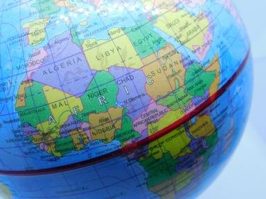

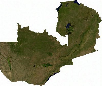 The national anthem of Zambia is "Stand and Sing of Zambia, Proud and Free". Since the country gained independence in 1964, this has been a fitting call. Note: there is valuable information in the pictures. Clicking will make them larger.


 Quick Question
 Top 10% Rated Quiz,
 Top 20% Rated Quiz,
 A Well Rated Quiz