FREE! Click here to Join FunTrivia. Thousands of games, quizzes, and lots more!
Quiz about Labelling New Zealand  Aotearoa

Labelling New Zealand / Aotearoa Quiz


You've played the quizzes, now see where all those places are located! With apologies for my ineptitude at manipulating images.

A label quiz by looney_tunes. Estimated time: 3 mins.
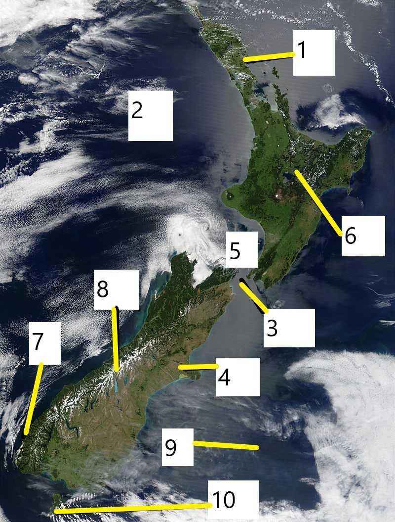
  1. Home
  2. »
  3. Quizzes
  4. »
  5. Geography Trivia
  6. »
  7. Pacific Islands
  8. »
  9. New Zealand

Author
looney_tunes
Time
3 mins
Type
Label Quiz
Quiz #
407,917
Updated
Jan 27 22
# Qns
10
Difficulty
Easy
Avg Score
9 / 10
Plays
313
Awards
Top 5% quiz!
Last 3 plays: Guest 123 (10/10), Guest 131 (8/10), Guest 202 (10/10).
Tasman Sea Cook Strait Rotorua Stewart Island / Rakiura Bay of Islands Fiordland National Park Wellington South Pacific Ocean Christchurch Aoraki / Mount Cook
* Drag / drop or click on the choices above to move them to the answer list.
1.   
2.   
3. body of water  
4.   
5. on land  
6.   
7.   
8.   
9.   
10.   

Most Recent Scores
Apr 22 2024 : Guest 123: 10/10
Apr 18 2024 : Guest 131: 8/10
Apr 08 2024 : Guest 202: 10/10
Apr 05 2024 : gogetem: 8/10
Apr 03 2024 : Guest 61: 10/10
Mar 30 2024 : PurpleComet: 10/10
Mar 29 2024 : Guest 202: 10/10
Mar 23 2024 : Guest 103: 10/10
Mar 19 2024 : Guest 2: 7/10

Quiz Answer Key and Fun Facts
1. Bay of Islands

This region near the northernmost tip of New Zealand is a popular site for tourists, both for the scenery and for the fishing, which author Zane Grey first promoted after a visit in the 1930s. The bay contains 144 islands, the largest of which is Urupukapuka Island where Zane Grey made his base. Tourist boats showing off the various points of interest in the bay often stop there, to explore the signed walk to sites of the island's pre-European history.

Another popular tourist site is the Hole in the Rock, the popular nickname for Motu Kokako, an important Maori site near the north end of the bay, which James Cook named Piercy Island. Tours take you through the water-level hole, which is an exhilarating experience, but one that is controversial because the tourist operators charge a hefty fee for the trip, but do not pay any royalties to the Maori trust who own the island.
2. Tasman Sea

The Tasman Sea is a branch of the southern Pacific Ocean, denoting the region between New Zealand (on the east) and the southern part of Australia (on the west). It was named after the Dutch explorer Abel Tasman, who was the first European to record a visit to New Zealand and Tasmania in 1642. Australians and New Zealanders often refer to it as "the Ditch", reflecting how common it is to travel across it. But it isn't all that small, with a width of roughly 2250 km (1400 mi).

The first person to record a solo row across the Tasman Sea was New Zealander Colin Quincey, who took 63 days to row from New Zealand to Australia in 1977. Thirty-three years later his son Shaun duplicated the feat, but travelling in the reverse direction, from New South Wales (in Australia) to 90 Mile Beach (in New Zealand), and requiring 54 days for his trip.
3. Cook Strait

You will probably not be surprised to hear that Cook Strait was named after the English explorer James Cook, who sailed through it in 1770. The Maori name for it is Te Moana-o-Raukawa, which means Sea of Raukawa, a plant growing in the area from which aromatic oils were extracted.

Although (or perhaps because) the strait is quite narrow, 22 km at the narrowest, it is also one of the most turbulent bits of water in the world, and the crossing between the North Island / Te Ika-a-Maui and the South Island / Te Waipounamu can be quite challenging. A significant contributor to the rough waters is the fact that the tidal flows on the eastern and western ends of the strait are almost exactly out of phase - the east has a high tide while the west is low, and vice versa. The islands near the eastern end of Cook Strait were used as bases for whalers during the 19th and early 20th centuries.
4. Christchurch

Christchurch is the second-largest city in New Zealand, after Auckland, and the largest city on the South Island / Te Waipounamu. The area was first settled by Maoris hunting moa around 1250, and subsequently occupied by several different groups, with the Ngai Tahu iwi ending up in control until the arrival of European settlers in the 1840s. These settlers, part of a colonisation plan called the Canterbury Association, named the region in which they settled Canterbury (now the name of the administrative region of which Christchurch is the seat, and of the plains on which the city is built), and the settlement Christchurch. The name had been preselected, but there is uncertainty as to which of the various possible English referents they had in mind.

In 1856 Christchurch became New Zealand's first official city. The city was planned with a central city square, called Cathedral Square, with four subsidiary squares nearby, and the streets almost completely in a tidy grid, within the surrounding parklands. The earthquakes of 2010-2012 caused extensive damage to the city, and a number of the oldest buildings had to be destroyed.
5. Wellington

New Zealand's capital city sits on the north side of Cook Strait, near the east end of the strait. The strong winds in the area have led to it being given the nickname "Windy Wellington" - and the New Zealand sign language symbol for the city is formed by extending three fingers to make a W shape, and shaking slightly from side to side.

Despite its small population, Wellington is one of the most densely-populated cities of New Zealand because the area is closely surrounded by hills. It is the southernmost capital city in the world, on a site selected in 1856 because its harbour was large enough to house a fleet of ships, and because it was closer to the South Island (where a gold rush influx was increasing the population to the point where there were fears they would decide to become a separate colony) than Auckland, which had been declared the capital in 1840. The city was named in honour of Arthur Wellesley, first Duke of Wellington, who had given strong support to the New Zealand Company's colonisation plans.
6. Rotorua

Located in the northern part of the North Island / Te Ika-a-Māui, near the Bay of Plenty, Rotorua is a major tourist destination, famous for its geysers and bubbling mud pools. (To be honest, when I visited there I found Pohutu Geyser much less dramatic than what I had seen in Yellowstone National Park, but the Whakarewarewa geothermal area far outstrips anything else in Australasia.) Rotorua is also infamous for the not-so-subtle scent of hydrogen sulphide which pervades the area, leading to the nicknames Sulphur City and Rotten-rua.
7. Fiordland National Park

New Zealand's largest national park, on the southwestern corner of the South Island / Te Waipounamu, features spectacular scenery left by receding glaciers, but only one is accessible by road, Milford Sound / Piopiotahi. It is reached by a tunnel that was completed in 1953.

A boat tour of the sound is a must-do if you can get there - the sound is about 15 km in length, surrounded by essentially vertical cliffs whose height is over 1000 m. Some of the peaks are said to resemble figures, but you have to be looking at them from the right angle when the sun is in the correct position, and/or use a lot of imagination to see some of them. If you want to visit more of the 15 fiords in this World Heritage Site, you will need to plan for some heavy-duty hiking.
8. Aoraki / Mount Cook

New Zealand's highest mountain is the only one of the places which are officially dual-named to have the Maori name come first, in deference to its significance in their traditions. It is part of the mountain range that James Cook named the Southern Alps (now officially Southern Alps / Ka Tiritiri o te Moana), a range that was formed, according to Maori legend, when Aoraki and his brothers became stranded when their canoe ran aground, before being frozen and turned to stone by the south wind. There are a number of glaciers in the vicinity which tourists can visit, although the most famous ones (Fox and Franz Josef) are on the west of the divide, in Westland / Tai Poutini National Park.
9. South Pacific Ocean

New Zealand's location is usually given as being in the Pacific Ocean, because it is! While the water on its west coast is designated as a sea (meaning a smaller section of the ocean), the rest of the islands are surrounded by the waters of the Pacific Ocean, the largest ocean on our planet.

The Maori settlers migrated from other Pacific islands, notable from Polynesia, around 1250-1300. Europeans arrived later, with Abel Tasman visiting (and fighting the residents) in 1649, and James Cook mapping the coastline in 1769.

This was followed by lots of visits by whalers and sealers, with missionary settlers getting to work in the 19th century.
10. Stewart Island / Rakiura

Stewart Island was named after the Englishman who first determined that this was an island, and is the third-largest of New Zealand's islands. The Maori name means Glowing Skies - and it's a good place for observing the Aurora Australis. While most people only think of the North and South Islands, there are actually over 700.

This one is separated from the larger islands by Foveaux Strait / Te Ara a Kiwa. The official Maori name is also sometimes given as Te Ara a Kewa, depending on the emphasis the speaker wishes to give to the two characters involved in the story of its formation: it is said to have been formed by a whale named Kewa, as instructed by the Maori ancestor Kiwa.
Source: Author looney_tunes

This quiz was reviewed by FunTrivia editor agony before going online.
Any errors found in FunTrivia content are routinely corrected through our feedback system.
4/24/2024, Copyright 2024 FunTrivia, Inc. - Report an Error / Contact Us