FREE! Click here to Join FunTrivia. Thousands of games, quizzes, and lots more!
Quiz about Locating Chile

Locating Chile Trivia Quiz


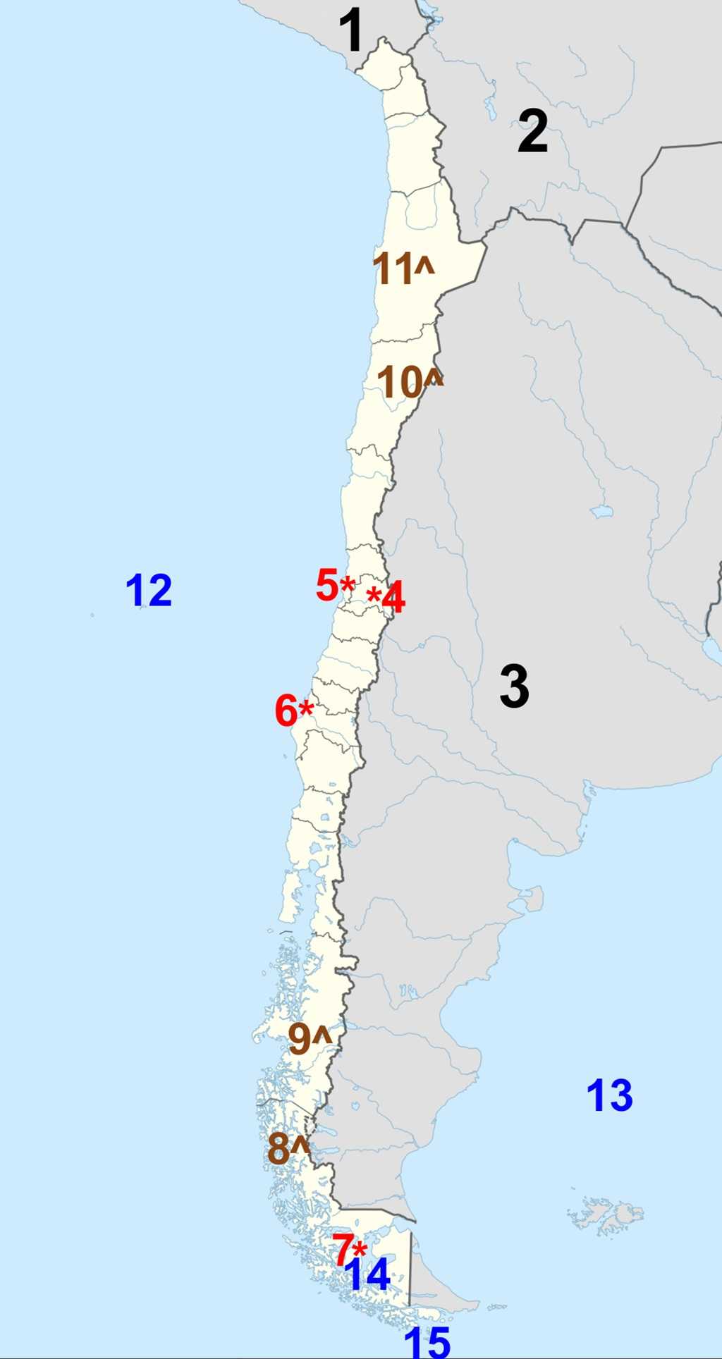
Chile is a long, narrow country that runs along the west coast of South America. From deserts to icefields, it is a land of striking contrasts. Can you locate and identify its most distinctive features, and neighbouring waters and countries?

A label quiz by reedy. Estimated time: 3 mins.
  1. Home
  2. »
  3. Quizzes
  4. »
  5. Geography Trivia
  6. »
  7. South America
  8. »
  9. Chile

Author
reedy
Time
3 mins
Type
Label Quiz
Quiz #
424,665
Updated
Jun 30 26
# Qns
15
Difficulty
New Game
Avg Score
13 / 15
Plays
7
Last 3 plays: Taddykpk (10/15), looney_tunes (15/15), sciencenerd05 (13/15).
Click on image to zoom
Drake Passage Strait of Magellan Argentina Valparaíso South Atlantic Ocean Punta Arenas Patagonian Icefields Concepción Ojos del Salado Marble Caves Peru Santiago Atacama Desert Bolivia South Pacific Ocean
* Drag / drop or click on the choices above to move them to the answer list.
View Image Attributions for This Quiz
1. Land of the Incas  
2. Heart of South America  
3. La Albiceleste  
4. Capital city  
5. The Jewel of the Pacific  
6. Biobío's Pearl  
7. Gateway to the End of the World  
8.   
9.   
10. Highest point  
11.   
12.   
13.   
14.   
15.   

Most Recent Scores
Today : Taddykpk: 10/15
Today : looney_tunes: 15/15
Today : sciencenerd05: 13/15
Today : mikeyblueeyes: 11/15
Today : kstyle53: 15/15
Today : salami_swami: 13/15
Today : PDAZ: 13/15

Quiz Answer Key and Fun Facts
1. Peru

Peru lies to the north of Chile, and the two countries share a land border of approximately 168 km (104 mi), extending from the Pacific Ocean on the west to a tripoint with Bolivia in the east. The border follows largely arid coastal and desert terrain, including parts of the Atacama Desert region, and begins near the coastal city of Arica in Chile and Tacna in Peru before running inland toward the Andes Mountains.
2. Bolivia

Bolivia lies to the northeast of Chile, but the two countries no longer share an active coastline boundary, as Bolivia became landlocked following the War of the Pacific (1879-84). They do, however, share a land border of approximately 861 km (535 mi), extending from a tripoint with Peru in the northwest to a tripoint with Argentina in the southeast.

The border runs through diverse terrain, including the Andes Mountains and the high-altitude Altiplano plateau, with key crossing areas near regions such as Colchane (Chile) and Pisiga (Bolivia).
3. Argentina

Argentina lies to the east of Chile, and the two countries share a long land border of approximately 5,308 km (3,298 mi), making it one of the longest international borders in the world. The border extends from a tripoint with Bolivia in the north to the southern tip of South America, where both countries approach a maritime boundary near Cape Horn.

Much of the border follows the Andes Mountains, including high peaks, glacial fields, and numerous passes connecting the two countries.
4. Santiago

The name Santiago originates from Spanish colonial history, meaning "Saint James," the patron saint of Spain. The city was officially founded as Santiago del Nuevo Extremo ("Saint James of the New Frontier") in 1541 by the Spanish conquistador Pedro de Valdivia. The location was chosen in a fertile valley between the Mapocho River and the Andes Mountains, an area already inhabited by Indigenous peoples, particularly the Picunche.

Under Spanish rule, Santiago developed as an administrative and agricultural center, though it faced repeated challenges, including indigenous resistance and natural disasters such as earthquakes. Following Chile's independence from Spain in 1818, Santiago was established as the capital of the new republic, consolidating its political and economic importance within the country.

Over the 19th and 20th centuries, the city expanded significantly due to industrialization and rural migration, becoming the largest urban center in Chile. Modern Santiago is a major financial and cultural hub in South America, with a metropolitan population exceeding seven million people. It continues to grow steadily, serving as the political, economic, and transportation heart of Chile, while being framed by the dramatic backdrop of the Andes Mountains.
5. Valparaíso

Established as a small colonial port in the 16th century, Valparaíso grew in importance due to its strategic location along Pacific trade routes. During the 19th century, especially before the opening of the Panama Canal in 1914, it became one of the most significant ports in South America, serving as a key stop for ships traveling between the Atlantic and Pacific Oceans. This period brought rapid growth, attracting immigrants from Europe and contributing to the city's distinctive, cosmopolitan character.

Valparaíso is known for its steep hills, colourful houses, and network of historic funicular elevators, which were developed to help residents navigate the city's terrain. Although its economic prominence declined after the Panama Canal shifted global shipping routes, the city remains an important cultural and legislative center; it serves as the seat of Chile's National Congress.
Per the 2024 census, Valparaíso has a population of approximately 300,000 people in the city proper, with a larger metropolitan area exceeding one million. Its historic quarter was designated a UNESCO World Heritage Site in 2003, and the city continues to be celebrated for its vibrant arts scene and unique urban landscape overlooking the Pacific Ocean.
6. Concepción

Concepción was founded in 1550 by the Spanish conquistador Pedro de Valdivia near the coast at what is now Penco, an area originally inhabited by the Mapuche people. The name comes from the Spanish "La Inmaculada Concepción de María" ("The Immaculate Conception of Mary"), reflecting the strong Catholic influence during the period of Spanish colonization.

Concepción played an important role during the colonial period as a military and administrative center, particularly due to its proximity to the frontier of Mapuche resistance during the Arauco War. However, the city suffered repeated destruction from earthquakes and tsunamis. Following a devastating earthquake in 1751, the settlement was relocated slightly inland to its present location along the Biobío River (hence the city's nickname).

After Chile gained independence in 1818, Concepción developed into a key regional center for trade, education, and industry. Its strategic position near river and coastal routes helped it grow into one of Chile's most important cities outside the capital. Over time, it became known as a hub for universities and cultural activity, contributing significantly to Chilean arts, music, and intellectual life.

As of the 2024 census, Concepción has a population of roughly 220,000 in the city proper, with over one million people in the greater metropolitan area (known as Greater Concepción). It remains one of Chile's principal economic and industrial centers, particularly in forestry, manufacturing, and energy, while continuing to be shaped by its dynamic history and its proximity to both the Biobío River and the Pacific Ocean.
7. Punta Arenas

The name Punta Arenas comes from the Spanish words meaning "Sandy Point," referring to its location on a narrow stretch of land along the Strait of Magellan. The area was originally inhabited by Indigenous peoples, including the Selk'nam, Kawésqar, and Yaghan, who adapted to the harsh climate of southern Patagonia and relied on hunting and maritime resources.

The modern settlement was established by the Chilean government in 1848 as a penal colony and strategic outpost to assert control over the vital shipping route through the Strait of Magellan. Its remote location and difficult living conditions meant that early growth was slow. However, as international maritime traffic increased during the 19th century - particularly before the opening of the Panama Canal in 1914 - Punta Arenas became an important coaling and supply port for ships navigating between the Atlantic and Pacific Oceans.

The city's growth accelerated with the development of sheep farming in Patagonia, which brought economic prosperity and attracted immigrants from Europe, especially Croatia and Britain. This period transformed Punta Arenas into one of the most significant and cosmopolitan cities in southern South America.

Punta Arenas has a (2024 census) population of about 140,000 people and serves as the capital of Chile's Magallanes region. It remains an important hub for trade, tourism, and scientific research, particularly as a gateway to Antarctica. Its location along the windswept Strait of Magellan and its role in connecting South America to polar regions continue to define its identity.
8. Patagonian Icefields

The Northern and Southern Patagonian Ice Fields form one of the largest expanses of ice outside the polar regions. Stretching along the Andes Mountains in southern Chile (and extending slightly into Argentina), these vast icefields were formed over thousands of years through the accumulation and compression of snowfall into dense glacial ice.

The icefields began to take shape during the last Ice Age and have since remained a defining feature of Patagonia's dramatic landscape. Today, they feed dozens of outlet glaciers, many of which descend from the high Andes down toward fjords, lakes, and valleys. Among the most well-known glaciers are San Rafael in the north and Grey and Pío XI in the south.

Although the region is remote and sparsely populated, the icefields have played an important role in scientific research, particularly in the study of climate change. Many glaciers in the Patagonian Icefields have been retreating in recent decades, contributing to rising sea levels and providing visible evidence of global warming.

Starting in the 1930s, the Chilean portions of the Patagonian Icefields became protected within several national parks, including Laguna San Rafael National Park and Bernardo O'Higgins National Park. The icefields are a major attraction for adventurers and researchers alike, offering a unique landscape of towering ice, deep blue crevasses, and rugged mountain scenery in one of the wildest regions of South America.
9. Marble Caves

The Marble Caves, known in Spanish as Cuevas de Mármol, are a series of striking natural formations located along the shores of General Carrera Lake in Chile's southern Patagonia region. These caves were formed over thousands of years as the lake's clear, mineral-rich waters gradually eroded the carbonate rock, carving out smooth, swirling walls and intricate tunnel systems.

Protected as part of a natural sanctuary established in 1994, the caves are especially famous for their vibrant colours, which range from shades of blue and turquoise to white and grey. These hues are created by the reflection of sunlight off the glacial waters of the lake, with the appearance constantly changing depending on the time of day, weather conditions, and water levels. The three main formations are often referred to as the Marble Cathedral, the Marble Chapel, and the Marble Cave.

Although located in a remote region, the Marble Caves have become one of Chile's most celebrated natural attractions, drawing visitors who explore them by small boat or kayak. The surrounding area is sparsely populated and characterized by rugged mountains, glacial landscapes, and pristine waters fed by the nearby Patagonian Icefields.
10. Ojos del Salado

Ojos del Salado, whose name means "Eyes of Salt" in Spanish, is the highest active volcano in the world, rising to about 6,893 meters (22,615 feet) in the Andes Mountains along the Chile-Argentina border. It is also the second-highest mountain in the Western Hemisphere, surpassed only by Aconcagua. Its name refers to the mineral-rich springs and salt deposits found in the surrounding region, reflecting the harsh, arid conditions of the high-altitude Atacama Desert.

The volcano is considered only intermittently active, with no significant eruptions in recent history. Despite its volcanic origin, the landscape around Ojos del Salado is defined more by extreme dryness than by lava flows, as it lies within one of the driest regions on Earth. The surrounding terrain features salt flats, rocky slopes, and sparse vegetation, creating a stark and otherworldly environment.

One of the most distinctive features of Ojos del Salado is the presence of the highest permanent lake in the world, located near its summit at an altitude of around 6,400 meters (21,000 feet). This small crater lake highlights the unusual combination of volcanic, alpine, and desert conditions that characterize the region.
11. Atacama Desert

The Atacama Desert, stretching along northern Chile, is widely considered the driest non-polar desert on Earth. Bounded by the Pacific Ocean to the west and the Andes Mountains to the east, the region's extreme aridity is the result of a combination of geographic and atmospheric factors, including cold ocean currents and rain-shadow effects that prevent moisture from reaching the interior.

Unlike typical deserts, the Atacama is characterized by striking geological diversity rather than vast sand dunes. Its landscapes include salt flats, volcanic plateaus, geysers, and sharply eroded rock formations. In some areas, weather stations have recorded little to no rainfall for decades, creating conditions so dry that parts of the desert are often compared to the surface of Mars.

Despite its harsh environment, the Atacama supports unique forms of life adapted to its extremes, including microorganisms, specialized plants, and hardy animals. The clear, stable atmosphere and minimal cloud cover also make it one of the best places in the world for astronomical observation, leading to the construction of major observatories such as ALMA (Atacama Large Millimeter Array).

Today, the Atacama Desert is both a site of scientific importance and a growing destination for tourism. Visitors are drawn to its otherworldly scenery, high-altitude lagoons, and dramatic night skies, making it one of Chile's most distinctive and visually remarkable regions.
12. South Pacific Ocean

The South Pacific Ocean forms Chile's entire western boundary and is the country's most significant maritime influence. Stretching thousands of kilometers along Chile's long, narrow coastline, the Pacific shapes the nation's climate, economy, and culture.

The cold Humboldt Current, which flows northward along the coast, plays a crucial role in regulating temperatures and creating rich fishing grounds, making Chile one of the world's leading producers of seafood. Major ports such as Valparaíso and San Antonio serve as vital trade gateways, connecting Chile to global markets across Asia and Oceania.

The Pacific also contributes to Chile's remarkable geographic diversity, from the arid north to the fjord-lined south.
13. South Atlantic Ocean

Although Chile does not have a direct coastline on the South Atlantic Ocean, it is closely connected to it through its southern waterways and its position on the South American continent. The Atlantic's influence is felt most strongly in Patagonia, where weather systems from the east interact with Pacific conditions, shaping regional climate patterns. Additionally, Chile's access to the Atlantic via southern passages has historically been important for navigation and trade, particularly before the opening of the Panama Canal.

The Atlantic also plays a geopolitical role, as Chile shares maritime interests and boundaries in the far south with neighboring Argentina.
14. Strait of Magellan

The Strait of Magellan is one of the most historically and strategically important waterways in southern Chile. Separating the South American mainland from Tierra del Fuego, the strait provides a natural sea passage between the Atlantic and Pacific Oceans.

Discovered by Ferdinand Magellan in 1520, it became a key navigation route for centuries, especially before the Panama Canal offered a shorter alternative. Chile controls much of the strait, giving it significant strategic importance for shipping and national security. Today, it remains a vital regional waterway and supports local economies through ports such as Punta Arenas, while also serving as a gateway to the remote regions of Patagonia.
15. Drake Passage

The Drake Passage lies to the south of Chile, between Cape Horn and Antarctica, and represents one of the most turbulent and powerful bodies of water on Earth. It connects the Pacific and Atlantic Oceans and is known for its strong currents and severe weather conditions.

For Chile, the Drake Passage is significant due to its proximity to the country's southernmost territories and its role as a gateway to Antarctica. Chile maintains a strong presence in Antarctic research and logistics, with ports like Punta Arenas acting as key departure points for expeditions. The passage also reinforces Chile's geographic identity as a nation extending deep into the southern reaches of the globe.
Source: Author reedy

This quiz was reviewed by FunTrivia editor agony before going online.
Any errors found in FunTrivia content are routinely corrected through our feedback system.
6/30/2026, Copyright 2026 FunTrivia, Inc. - Report an Error / Contact Us