FREE! Click here to Join FunTrivia. Thousands of games, quizzes, and lots more!
Maybe not the Biggest Trivia Quiz
But it is the National Capital
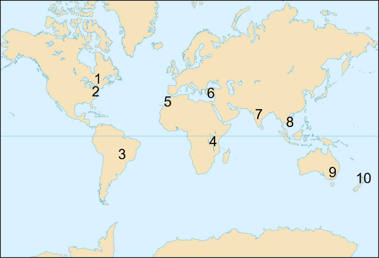
Can you locate on the map each of these national capital cities which are NOT the city with the largest population in that country? (While city populations do change over time, the size differences here are likely to remain for a long time.)
A label quiz
by looney_tunes.
Estimated time: 3 mins.
Washington DCHanoiDodomaRabatCanberraBrasiliaAnkaraWellingtonOttawaNew Delhi* Drag / drop or click on the choices above to move them to the answer list. View Image Attributions for This Quiz
According to the 2021 census, Ottawa was the fourth-largest city of Canada, with a population of just over a million. This placed it behind Toronto (2.7 million), Montreal (1.8 million) and Calgary (1.3 million).
What is now the city of Ottawa started life in the 1920s as a town on the anticipated site of the Rideau Canal, named Bytown after the chief engineer of the project, John By. In 1855 it was renamed Ottawa and incorporated as a city. In the leadup to Confederation there was a fair amount of squabbling over the location of the new national capital, with Kingston (named the provincial capital in 1841), Montreal, Toronto and Quebec City all contenders. In 1857 Queen Victoria declared that Ottawa was to be the capital of the Province of Canada. The enactment of the British North America Act on 1 July 1867 saw Ottawa become the capital of the Dominion of Canada, a confederation of four provinces that was to grow to be the nation we now recognise as Canada.
2. Washington DC
According to the 2020 census, the population of the federal district was 689,545. This made it the 23rd largest population of American cities. That same year New York city had the largest population, with 8.8 million residents; second was Los Angeles with 3.8 million.
When the United States was formed, there was a lot of discussion about the most suitable city to be named as the capital of the new nation. During the Revolutionary War there were eight different cities which acted as capitals for the Continental Congress at various times (some of them multiple times): Philadelphia PA, Baltimore MD, Lancaster PA, York PA, Princeton NJ, Annapolis MD, Trenton NJ and New York NY all preceded Washington DC as capitals, and (of course) local interests argued strongly for their consideration as the permanent capital.
The constitution called for the building of a new city, purpose-built in a federal district that would not be part of any state. It was located on the Potomac River, on land selected by George Washington from the states of Maryland and Virginia.
3. Brasilia
In 2022, Brasilia had a population of 2.8 million people (mostly in government service), placing it third behind São Paulo (11.5 million) and Rio de Janeiro (6.2 million).
Brazil's current capital is another example of a purpose-built city built in a designated Federal District. It is located near the centre of the highland area of the country, to act as a replacement for Rio de Janeiro that would be more central. This was not a new idea - it was proposed in 1827 by José Bonifácio, but his location on the São Francisco River was never realised because the Portuguese king dissolved the parliament.
Proposals for the location of Brasilia continued, with the 1891 Brazilian Constitution stating that the capital needed to move. However, the project was deemed low priority by a number of governments, due to its cost (as well as the difficulty of choosing a site). In 1922, as part of the celebration of Brazil's centennial independence, President Epitácio Pessoa set up a marker on the selected site. In 1956 the newly-elected President Juscelino Kubitschek started to fulfil a campaign promise by selecting plans made by Lúcio Costa, Oscar Niemeyer and Joaquim Cardozo. The capital was officially declared open for business on 21 April 1960.
4. Dodoma
Dodoma had a population in 2022 of roughly 765,000 people. This made it significantly smaller than the largest city in Tanzania, Dar es Salaam, with 7.8 million people.
The rapid population growth of Dar es Salaam, which remains the financial centre of the country, was part of the reason the government announced in 1974 that the national capital would be moved to a more central location. Dodoma, which was established in 1907 as part of the construction of the Tanzanian Central Railway, had been suggested as a suitable site to develop due to its location in the rural heartland, with room for expansion but also with good transport infrastructure already in place.
Dodoma was officially declared the new capital in 1996, although it was several decades later that many of the development plans were actually realised. The slowness of this development has led to many government departments remaining in Dar es Salaam, but the new parliament building was opened in 2006.
5. Rabat
With a 2014 population of just over half a million, Rabat was Morocco's seventh largest city, with the largest being Casablanca with nearly 3.5 million residents. Even if you include the entire metropolitan area, Rabat in 2025 only had around 2 million residents.
Rabat is known as one of the nation's four imperial cities, those that have served as the capital at different times. Fez was founded around the year 800, and served as the capital a number of times, coming in and out of favour at least half a dozen times. Marrakesh, founded in 1071, was the capital for two dynasties lasting until around 1250, and again intermittently for shorter periods in later years. Meknes was changed from a small military settlement into a larger city as a long-term project of the Alawi sultan Ismail Ibn Sharif during his reign (1672-1727), undertaken while he resided there.
Rabat was founded in the 12th century, growing steadily under the Almohad Caliphate. When their rule ended, it started a steady decline until the 17th century saw the rise of Barbary corsairs who used Rabat as a base. When the French established Morocco as a protectorate in 1921 they made Rabat the capital, a status which it retained when the country gained independence in 1956.
6. Ankara
Ankara, with a population of about 5.3 million, is second only to Istanbul (population about 17 million) in the Republic of Türkiye. About two-thirds of Istanbul's population resides in the European part of the city, with about one third in Asia. So if we only compare Ankara to the Asian bit of Istanbul, they are close to the same size. There is still a massive gap between the sizes of the entire cities!
Although Istanbul has been the capital of multiple empires (Roman 330-1204; Latin 1204-1261); Byzantine 1261-1453; Ottoman 1453-1922), and remains a city of immense historic and cultural significance, the Republic of Türkiye, established following the dissolution of the Ottoman Empire, selected Ankara (also written as Angora, a variant spelling that is still used in reference to cats, goats, etc. that originated there, and as Ancyra) for the national capital. It had been a regional centre for a number of cultural groups since its Bronze Age roots. Around 1000 BCE an influx of Phrygians caused a swift increase in size; the location in the middle of an area that changed hands multiple times has made it a culturally diverse spot that was often the capital of whatever region it currently found itself in. It was the base for the Turkish War of Independence, led by Mustafa Kemal Atatürk, who made it the national capital in 1922.
7. New Delhi
With a population in 2011 of 250,000, New Delhi ranked 11th in population among the cities of India, with Mumbai (formerly known as Bombay) the largest, having over 12 million residents. Some listings consider the entire urban agglomeration of Delhi, of which New Delhi is a district, when ranking the cities, and that would make Delhi the largest. In 2024, its population was nearly 34 million, while the second-largest urban area was Mumbai's 22 million. Back in 2001, Kolkata (Calcutta) ranked second, between Mumbai and Delhi. But this quiz is only considering New Delhi, which is the capital region, not the entire mega-city of which it is part.
India has been under the control of a number of regimes, most of the time not as a single national entity but with regions that were part of various empires. In the 16th century the Mughal empire controlled most of the Indian subcontinent, with its capital moving between various locations, including Agra, Delhi, Fatehpur Sikri and Lahore (now in Pakistan) before settling in Delhi. By 1847 they held little more than that city, and the English East India Company's trading posts had expanded to control most of the region.
From 1858 until 1947 the British Raj was established, placing all of the subcontinent under the control of the British crown. The capital was Calcutta until 1911, when the foundation stone for a purpose-built city of New Delhi, south of the center of Delhi, was laid. This site was ostensibly chosen to be a more convenient administrative location, being more central, but more importantly it was distant from the ongoing independence uprisings occurring in Calcutta. Temporary buildings in various parts of Delhi were used for administrative purposes until New Delhi was ready for use, in 1931. In 1947, the Raj ended and India and Pakistan emerged as two new nations. New Delhi continued to be the Indian seat of government.
8. Hanoi
With a 2025 population of 8.8 million, Hanoi is Vietnam's second-largest city, with Ho Chi Minh City (formerly known as Saigon, and the capital of South Vietnam during the years when the nation was divided into two regions) the largest, having 14 million.
Located in the northern part of Vietnam, Hanoi was the capital for several Vietnamese dynasties between 1000 CE and 1789, albeit with a couple of name changes along the way. It started as Âu Lac, was renamed Thang Long (Ascending Dragon) in 1010, and became Dng Kinh (Eastern Capital) in 1428. In 1802 the national capital was moved to Hue, and Hanoi gained its current name in 1831. The French used it as their capital between 1883 and 1949, when the independent nation of Vietnam emerged, with Hanoi as its capital. Between 1954 and 1975, Hanoi was the capital of North Vietnam; the end of the Vietnamese War saw the country reunited, and Hanoi once again capital of the entire nation.
9. Canberra
Canberra, a purpose-built capital located approximately midway between the two largest cities in Australia, is far from the nation's largest city, but I won't commit myself to identifying the largest one. Every few years Sydney and Melbourne alternate in that status, sometimes by the simple expedient of redefining the city limits to include more suburbs. Each of them has a population over 5 million, while Canberra's was a measly 485,000 (its highest ever) in 2025. This still makes it the eighth largest Australian city, behind five state/territory capitals, Gold Coast QLD and Newcastle NSW.
The process of federation, undertaken during the later years of the 19th century, involved getting a number of separate colonies to agree to work together, and (politicians being politicians) there was a lot of horse-trading involved before a somewhat uneasy agreement could be reached. The new capital was to be located in New South Wales (more precisely, in a Capital Territory to be carved out of New South Welsh land), at least 100 miles from Sydney. While it was under construction, Melbourne would function as the interim capital.
The location chosen for the new nation's capital was inland, at the northern tip of the Australian Alps, at a road distance of nearly 300 km from Sydney. The region had been designated Canberry by the first British settler, an interpretation of the name of the local indigenous people, a Ngunnawal clan. It took until 1911 to get the site agreed on, and an international competition to design the city could be started. The winner was the plan of Americans by Walter Burley Griffin and Marion Mahony Griffin. However, relations with the government were strained, and they were fired from the project in 1920. It was not until 1927 that Parliament moved from Melbourne to Canberra. That year also saw the completion of residences for the Governor General and the Prime Minister. Other members of government, both elected and bureaucratic, were housed in the suburbs surrounding the central district of the city.
10. Wellington
With a 2021 population around 210,000, the southernmost national capital in the world is New Zealand's third-largest city, behind Auckland (1.5 million) and Christchurch (410,000).
When British settlers decided to build a city around a harbour on the northern shore of the Cook Strait (which separates the North Island and the South Island), they named it in honour of Arthur Wellesley, first Duke of Wellington, and victorious in 1815 over Napoleon at the Battle of Waterloo. The Maori residents already had their own names for the area: Te Whanganui-a-Tara ("The Great Harbour of Tata", referring to the legend of Tara being sent south from his tribe to settle in more fertile lands and establishing the settlement), Poneke (of uncertain origin, with several suggestions being anachronistic), and Te Upoko-o-te-Ika-a-Maui ("The Head of the Fish of Maui", a name applied to much of the southern part of the North Island in reference to the legend of Maui having dredged up the island while fishing).
New Zealand's first capital was Old Russell / Okiato in 1840, before Auckland was selected by the Lieutenant-Governor William Hobson in 1841. Both of these are located near the northern tip of the North Island, so the discovery of gold in the South Island made it important to move the centre of government closer to the scene of the action, and in 1861 Parliament started sitting in Wellington. In 1965 the move became official, and the city started to expand.
This quiz was reviewed by FunTrivia editor agony before going online.
Any errors found in FunTrivia content are routinely corrected through our feedback system.