FREE! Click here to Join FunTrivia. Thousands of games, quizzes, and lots more!
An Appetite for Hungary Trivia Quiz
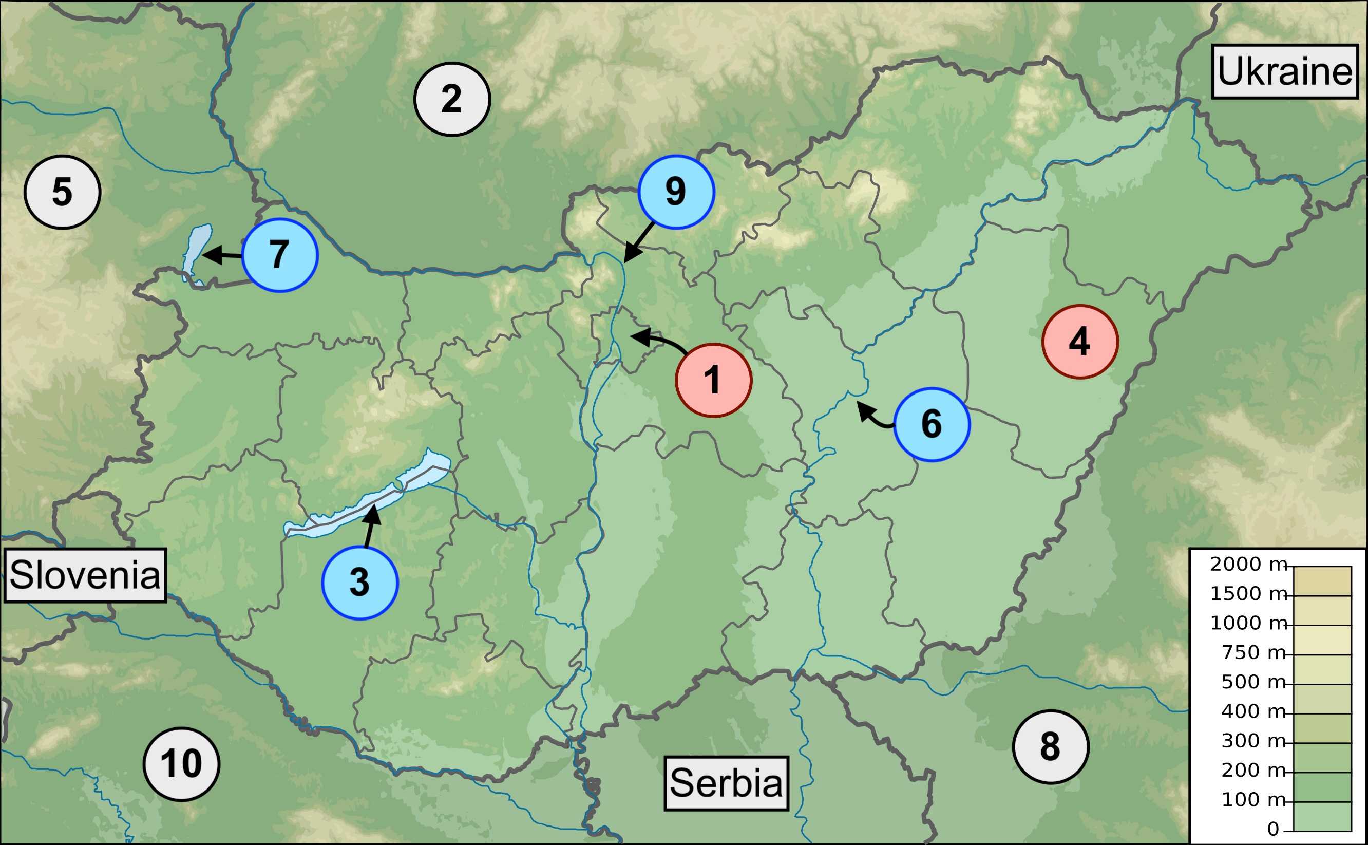
The landlocked country of Hungary is found in the lowland plains of Central Europe. This quiz takes a look at a map of the nation and identifies some geographical points of interest. Good luck.
A label quiz
by jonnowales.
Estimated time: 3 mins.
Last 3 plays: Guest 172 (10/10), fgrozalen (8/10), james1947 (10/10).
Red labels represent cities, grey labels are used for neighbouring countries and blue labels indicate bodies of water.
Click on image to zoom
Lake BalatonTiszaBudapestDebrecenDanubeAustriaCroatiaSlovakiaRomaniaLake Neusiedl* Drag / drop or click on the choices above to move them to the answer list. View Image Attributions for This Quiz
The capital city of the landlocked European country of Hungary is Budapest, a beautiful settlement on the Pannonian Basin. The legend featuring in the inset of the map shows that Hungary, for the most part, consists of lowlands but there is much debate as to what proportion of the lowlands should be considered the Pannonian Basin proper, taking into account the location of the ancient Pannonian Sea. Other sources prefer the term Carpathian Basin.
Whatever its name and precise boundaries, the lowlands have been strategically significant throughout history and the area that is now Budapest was settled on by the Celts in the last few centuries of the Before Christ (BC) era.
2. Slovakia
Neighbouring Hungary to the north is Slovakia, a country that - along with Czechia - formed part of Czechoslovakia from the end of WWI in 1918 to the state's dissolution in 1993. The charming capital city of Slovakia is Bratislava which is worth visiting not least to see the remarkable difference in architecture and culture that exists on either side of the Danube, the famous river that flows through the heart of the city. On one side you have the majestic medieval Old Town (Staré Mesto) and on the other the high-rise Communist-era suburbs.
3. Lake Balaton
The freshwater Lake Balaton is the largest lake in Hungary and the beauty of the body of water and its surrounds has led to the location becoming something of a tourist hotspot. The major source of water for the lake is Zala, a river that has its source in the hilly borderlands shared with Austria and Slovenia.
4. Debrecen
Debrecen is the largest settlement in the east of the country and, throughout the short revolutionary period of 1848 to 1849, was the capital city of Hungary. Like a lot of cities in continental Europe, Debrecen has a tram network; it is formed of two lines, both of which have a terminus at Debrecen's main railway station, Nagyállomás.
5. Austria
Bordering Hungary to the northwest is another landlocked country, Austria (Österreich). The capital city of Austria, known for its beautiful architecture and contribution to classical music, is Vienna and the city is situated close to the Hungarian border (approximately 30 miles).
This area of Europe is notable for how close a number of national capitals are to one another; Vienna (Austria), Bratislava (Slovakia) and Budapest (Hungary) are all located within a 150 mile stretch.
6. Tisza
The Tisza is a river of approximately six hundred miles in length that has its source in the Eastern Carpathians of Ukraine. The Tisza flows through a number of countries including Hungary until it joins the Danube in Serbia. Whilst the Danube is a much longer river from source to mouth, the Tisza is the longest river in Hungary when considering just the distance a river flows within the nation's borders.
7. Lake Neusiedl
As hinted at by the Germanic sounding name, Lake Neusiedl (or Neusiedler See) is a lake that sits on the border of Hungary and German-speaking Austria. Lake Neusiedl is mostly located in Austria but approximately 20% to 25% of the surface area is on the Hungarian side of the border, where the lake is referred to as Fertő.
The lake is saline and classified as endorheic, which indicates that there is no outflow of water via the likes of a river or stream. Water levels in such a system tend to naturally regulate through evaporation across a network of satellite lakes and swamps.
8. Romania
The majority of Hungary's eastern border is with Romania and the length of the frontier between the two countries stretches to around 275 miles. Demarcating the northern end of the border is a tripoint shared between Hungary, Romania and Ukraine; the southern end of the border terminates at another tripoint, this time shared between Hungary, Romania and Serbia.
9. Danube
The Danube, immortalised in music by Johann Strauss II by way of his 1866 composition 'The Blue Danube', is the second longest river in Europe (only the Volga flows a longer distance). This vital waterway flows through numerous countries including Germany, Austria, Slovakia, Hungary and Ukraine.
As a result of traversing so many nations, the river has a plethora of names - accounting for different national languages - such as Donau (German), Dunaj (Slovak) and in Hungarian, Duna.
10. Croatia
To the southwest of Hungary is Croatia and the two European nations share a border that is in excess of two hundred miles. This border, along with the Hungarian-Serbian frontier, became a source of contention in 2015, when the Hungarian state became increasingly discontent with border and migration policies on the continent.
A physical border, in the form of a metal fence, was erected across the entirety of the Hungary-Croatia frontier in 2015.
This quiz was reviewed by FunTrivia editor agony before going online.
Any errors found in FunTrivia content are routinely corrected through our feedback system.